Sudan: How War Breaks the Food Supply
A new international warning on Sudan, the conflict and drought behind hunger, and why changing IPC assessment coverage prevents a simple trend comparison. Checked 27 October 2026.
Explore the interactive explainerKey takeaways
- The latest diplomatic warning calls for humanitarian access and funding.
- Conflict, drought and displacement damage both food availability and access.
- Smaller assessment coverage means lower totals cannot establish a nationwide improvement.
Sourced facts and figures
| Period | Fact or figure | Definition | Source |
|---|---|---|---|
| 26 Oct 2026 | New international warning | Calls for access and funding; not new nationwide classification | Reuters: countries warn of Sudan famine risk |
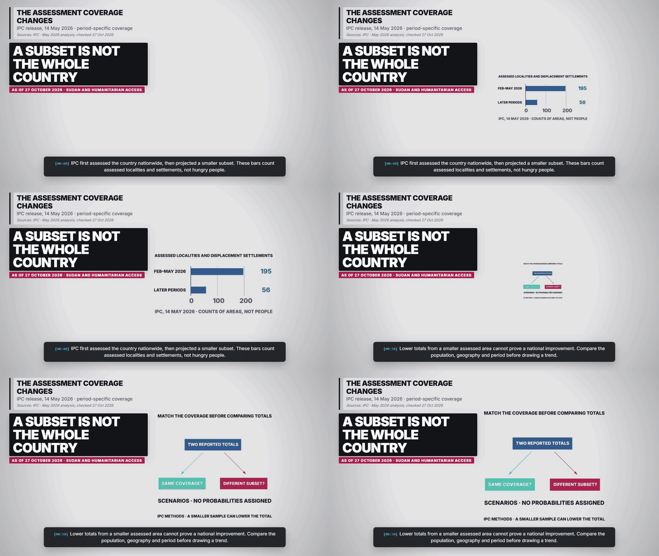
| Feb–May 2026 | 195 localities / settlements | Nationwide IPC assessment coverage | IPC: Sudan assessment and coverage limits |
| Later projection periods | 56 localities / settlements | Subset; approximately 8.3 million people | IPC: Sudan assessment and coverage limits |
| 12 Oct 2026 | Greater Darfur and Greater Kordofan | WHO / IPC warning concerns parts of these regions | WHO / IPC: food insecurity and malnutrition alert |
Why this is in the news
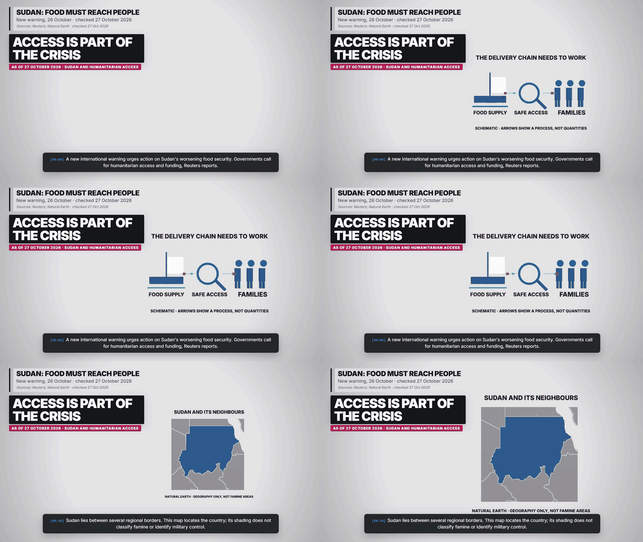
Reuters reports that dozens of governments issued a warning on 26 October about worsening food security and urged parties to remove aid barriers. The fresh statement is a call to act. It should not be presented as a new technical classification of famine across all Sudan. Source: Reuters: countries warn of Sudan famine risk.
How food systems fail
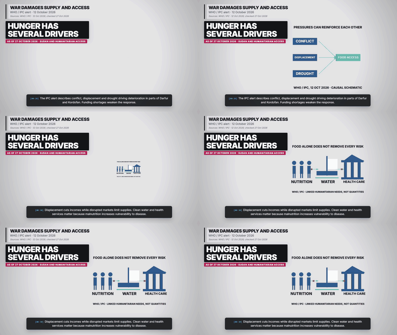
The WHO-published IPC alert identifies conflict, displacement, drought and funding shortages as interacting pressures in parts of Greater Darfur and Greater Kordofan. Families need more than grain in a warehouse: they need functioning routes, purchasing power, clean water and health care. Disruption at several points can turn a supply problem into a crisis of access. Source: WHO / IPC: food insecurity and malnutrition alert.
Why two totals cannot be read as a trend
IPC explicitly distinguishes the coverage of its assessment periods. February–May 2026 covered 195 localities and displacement settlements nationwide. Later projections covered only 56, representing around 8.3 million people. The comparison chart therefore measures assessment coverage, not people fed, population decline or an improvement in hunger. A national total and a subset total answer different questions. Source: IPC: Sudan assessment and coverage limits.
What progress would require
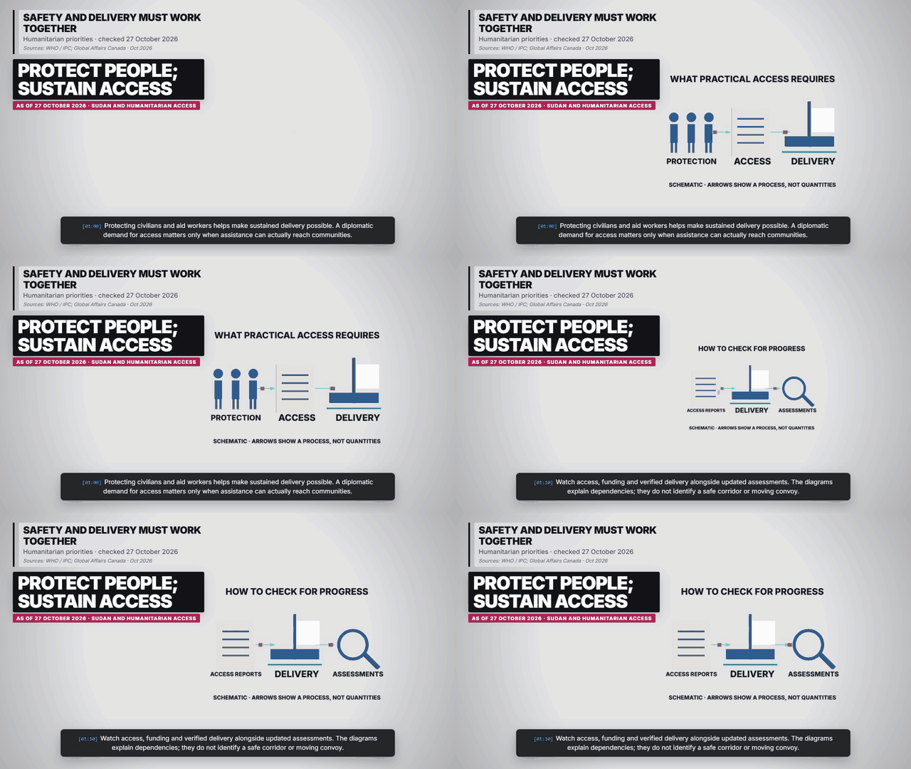
The new Canadian coalition statement stresses protection and accountability after the El Fasher atrocities. Humanitarian progress also requires safe access, protection for civilians and aid workers, and delivery that can continue. Our diagrams trace these practical dependencies without depicting actual convoy locations or identifying safe travel routes. Source: Global Affairs Canada: El Fasher anniversary statement.
Frequently asked questions
Does this say all Sudan is in famine?
No. It reports a new warning and distinguishes famine risk from a formal classification.
Why show 195 and 56?
They count assessed localities and displacement settlements in different periods, not hungry people.
Does the map identify famine areas?
No. It locates Sudan among its neighbours; no subnational severity or military control is mapped.
Charts, maps and diagrams from the explainer
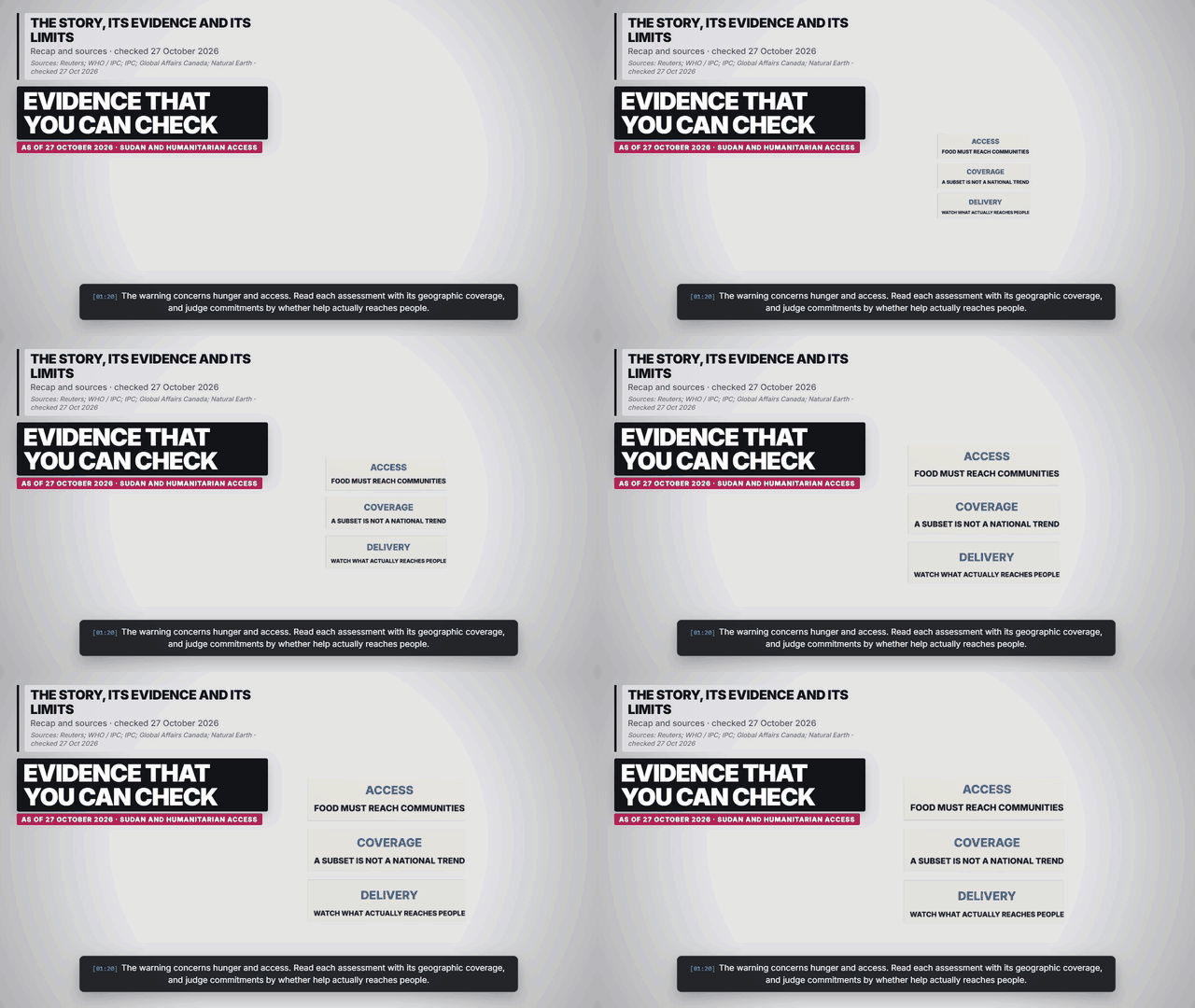
Sources and reporting scope
- Reuters: countries warn of Sudan famine risk. 26 Oct 2026. New multinational warning calls for humanitarian access and additional funding.
- WHO / IPC: food insecurity and malnutrition alert. 12 Oct 2026. Warns of deterioration in parts of Greater Darfur and Greater Kordofan, with conflict, drought, displacement and inadequate funding.
- IPC: Sudan assessment and coverage limits. 14 May 2026; periods through Jan 2027. February–May covers 195 localities and displacement settlements. Later projections cover only 56, around 8.3 million people; they are not a nationwide trend.
- Global Affairs Canada: El Fasher anniversary statement. 26 Oct 2026. Coalition reaffirms civilian protection and accountability; provides current conflict context.
- Natural Earth: country boundaries. v5.1.2; generated 27 Oct 2026. One projection per map; neighbouring countries clipped at frame edges. Geography only; no territorial endorsement or live movements.
Checked 27 October 2026, 14:45 UTC. The 26 October warning concerns famine risk; it is not a new nationwide famine classification. The May IPC assessment and later projections cover different populations. Map shading identifies Sudan only, not famine areas, military control or aid routes.
Explore the five scenes