Full transcript
The narration below matches the explainer. Its original reporting dates and qualifications still apply.
SUDAN: FOOD MUST REACH PEOPLE
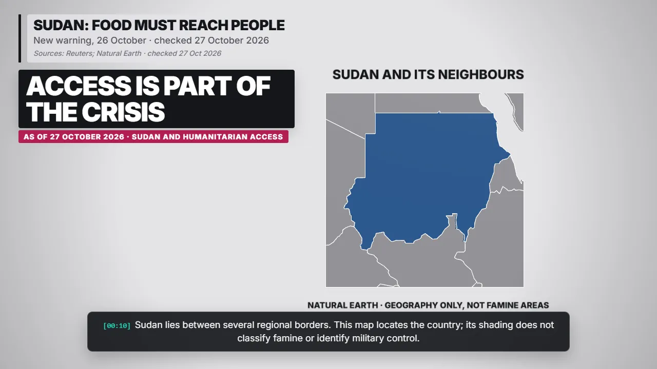
A new international warning urges action on Sudan's worsening food security. Governments call for humanitarian access and funding, Reuters reports.
Sudan lies between several regional borders. This map locates the country; its shading does not classify famine or identify military control.
Sources: Reuters; Natural Earth · checked 27 Oct 2026
WAR DAMAGES SUPPLY AND ACCESS
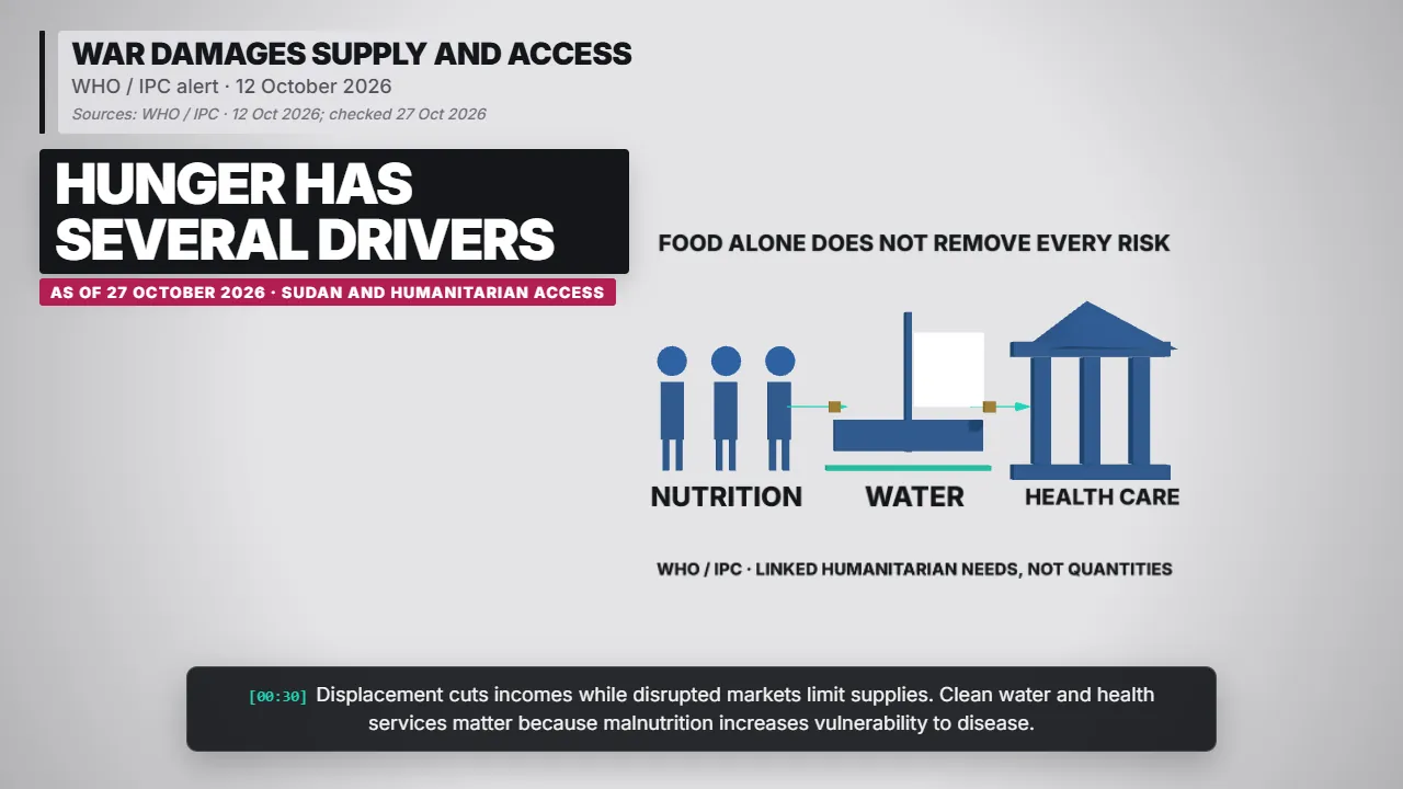
The IPC alert describes conflict, displacement and drought driving deterioration in parts of Darfur and Kordofan. Funding shortages weaken the response.
Displacement cuts incomes while disrupted markets limit supplies. Clean water and health services matter because malnutrition increases vulnerability to disease.
Sources: WHO / IPC · 12 Oct 2026; checked 27 Oct 2026
THE ASSESSMENT COVERAGE CHANGES
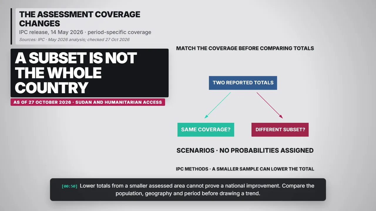
IPC first assessed the country nationwide, then projected a smaller subset. These bars count assessed localities and settlements, not hungry people.
Lower totals from a smaller assessed area cannot prove a national improvement. Compare the population, geography and period before drawing a trend.
Sources: IPC · May 2026 analysis; checked 27 Oct 2026
SAFETY AND DELIVERY MUST WORK TOGETHER
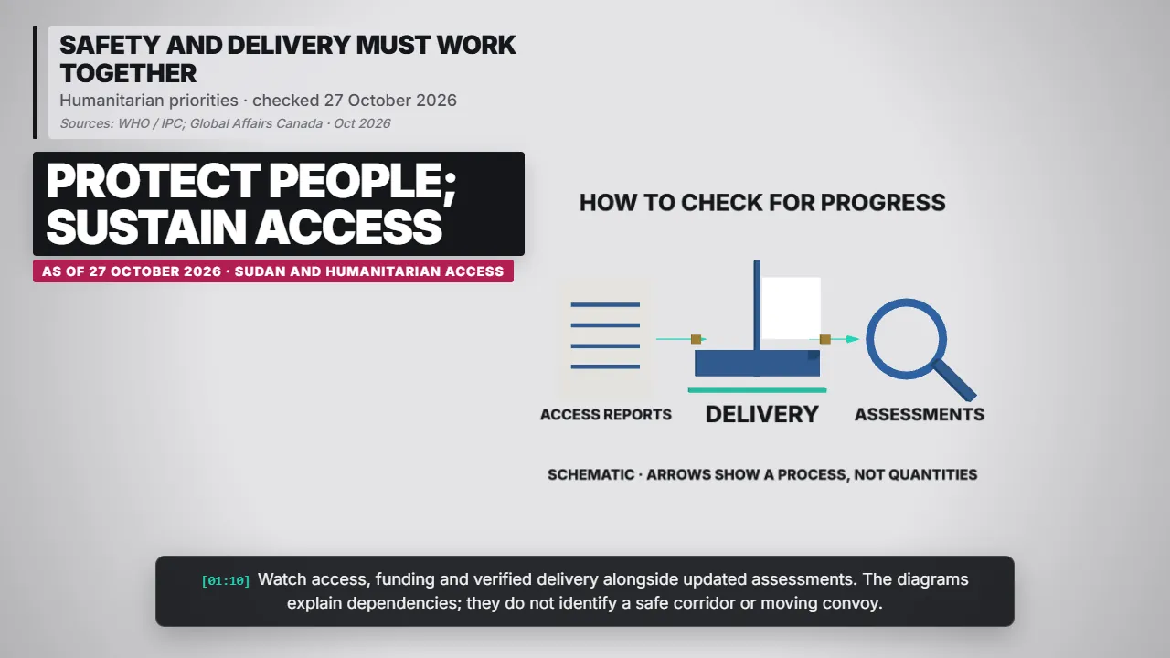
Protecting civilians and aid workers helps make sustained delivery possible. A diplomatic demand for access matters only when assistance can actually reach communities.
Watch access, funding and verified delivery alongside updated assessments. The diagrams explain dependencies; they do not identify a safe corridor or moving convoy.
Sources: WHO / IPC; Global Affairs Canada · Oct 2026
THE STORY, ITS EVIDENCE AND ITS LIMITS
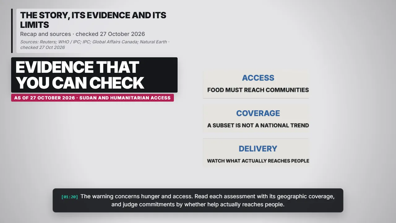
The warning concerns hunger and access. Read each assessment with its geographic coverage, and judge commitments by whether help actually reaches people.
These sources preserve the dates and qualifications behind the story. This is a checked snapshot; later developments can change the picture.
Sources: Reuters; WHO / IPC; IPC; Global Affairs Canada; Natural Earth · checked 27 Oct 2026
Source links
- https://www.streetinsider.com/Reuters/US%2C%2Bdozens%2Bof%2Bcountries%2Bwarn%2Bof%2BSudan%2Bfamine%2Brisk%2C%2Burge%2Baid/27235323.html
- https://www.who.int/news/item/12-10-2026-ipc-sudan-food-insecurity-and-malnutrition-alert
- https://www.ipcinfo.org/ipc-country-analysis/details-map/en/c/1163315/
- https://www.canada.ca/en/global-affairs/news/2026/10/statement-by-members-of-the-coalition-on-atrocity-prevention-and-justice-for-sudan-on-the-26-october-2025-atrocity-in-el-fasher.html
- https://www.naturalearthdata.com/downloads/50m-cultural-vectors/50m-admin-0-countries-2/